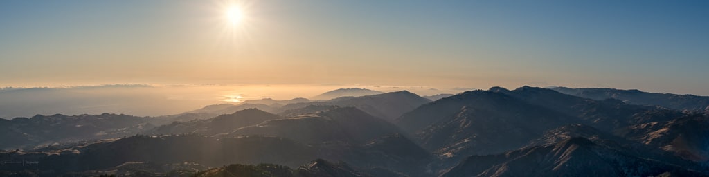
Photos 26Feb19 – When I was mobile but didn’t have time to travel anywhere distant, I would often drive around the TriValley or into Central Valley to capture what ever I could. The weather presented different challenges, cloudy like this day made for a warm color tint and flat contrast. The sun being the sun, it still mattered which way I was pointed. I bumped the kelvin a bit in post, never did get a consitent feel for them. Too warm, not warm enough, Too cool, etc. I made them look like I wanted them to feel each individually.
Note: The Central Valley is one set of hills to the east of me. I can be there in 15 minutes. I takes longer to get to the northernmost part of the Tri-Valley.
Photos 26Feb19
Tri Valley Febuary 26, 2019


Photos 26Feb19 – The Tri-Valley is a distinct, affluent region located in the eastern portion of the San Francisco Bay Area, nestled between the hills of the East Bay and the Central Valley.
Here is a breakdown of the location and what defines it:
Core Geography and Cities
The region gets its name because it encompasses three interconnected valleys: Amador Valley, San Ramon Valley, and Livermore Valley. It spans across parts of Alameda and Contra Costa counties and is primarily anchored by five municipalities:
- Livermore: The easternmost city, known for its extensive viticulture (Livermore Valley AVA), historic downtown, and major research facilities.
- Pleasanton: Located at the intersection of Interstates 580 and 680, known for its historic main street, corporate business parks, and the Alameda County Fairgrounds.
- Dublin: Situated directly north of Pleasanton, it is one of the fastest-growing cities in the region, serving as a central transit hub.
- San Ramon: Located just north in Contra Costa County, home to major corporate headquarters (like Chevron) and the Bishop Ranch development.
- Danville: A town tucked into the scenic foothills of Mount Diablo, known for its upscale, suburban charm.
Key Surrounding Landmarks & Terrain
- The Ridges: The valley floor is surrounded by rolling coastal range hills. To the north sits Mount Diablo, a dominant peak that provides a dramatic backdrop for the entire region.
- The Central Valley Gateway: The Tri-Valley acts as a natural buffer and transit corridor between the core coastal Bay Area and the expansive Central Valley to the east. For instance, from the eastern edges of Livermore, the Central Valley is just one set of hills away over the Altamont Pass, accessible in about 15 minutes.
- Local Landscape Elements: The area features a mix of suburban development, protected open spaces like Sycamore Grove Park, and rugged local terrains—including the gravel quarry pits and open spaces stretching between Isabel Avenue and the eastern ridges.
Transportation & Accessibility
The location is highly strategic for commuters and logistics due to its infrastructure:
- Highways: It is bisected by Interstate 580 (running east-west, connecting the Central Valley to the Bay Area) and Interstate 680 (running north-south, connecting San Jose and the Silicon Valley to the North Bay).
- Transit: The region is connected to the broader Bay Area rapid transit network via the Dublin/Pleasanton BART stations, making it a accessible suburban hub.
Popi luvs ya!
Look for 👉Popi’s Photo Releases👈 in your mailbox with a free subscription.
…or…
Slide over 👉here👈 for a photo show instead